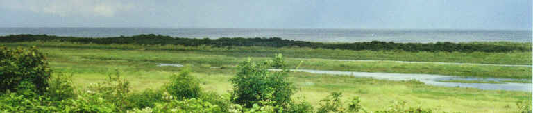
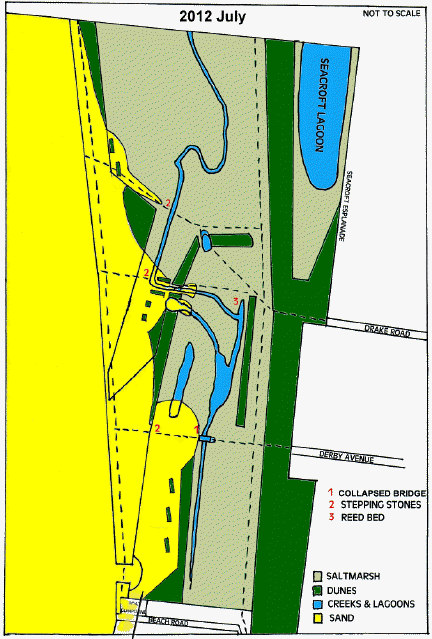
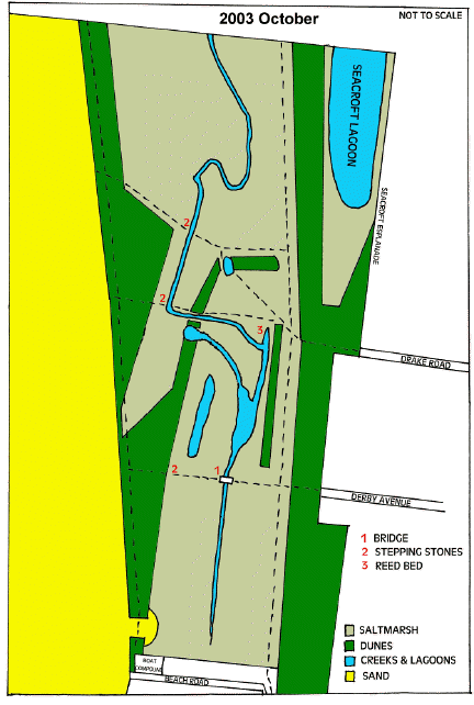
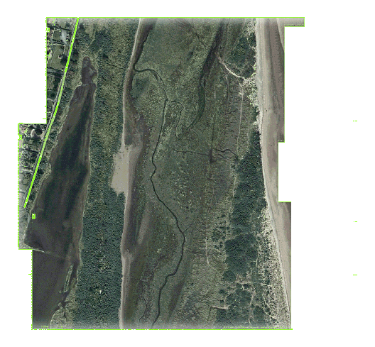
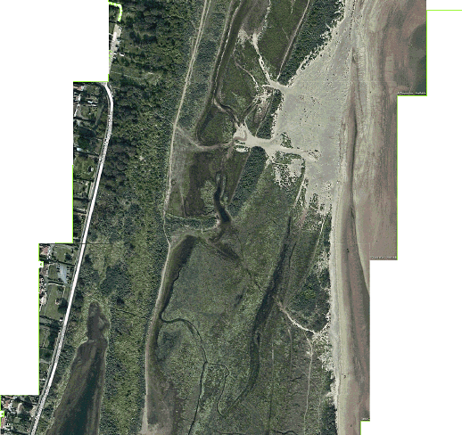
The first diagram shows the Seacroft Marsh SSSI after the initial breach in the outer dune ridge just south of the old boat compound and the second has been updated to show the steady changes that have taken place. There has been considerable erosian of the outer dunes and saltmarsh, creeks have been blocked by sand pushed onto the saltmarsh and water, unable to drain away, remains for much longer periods following spring tides.
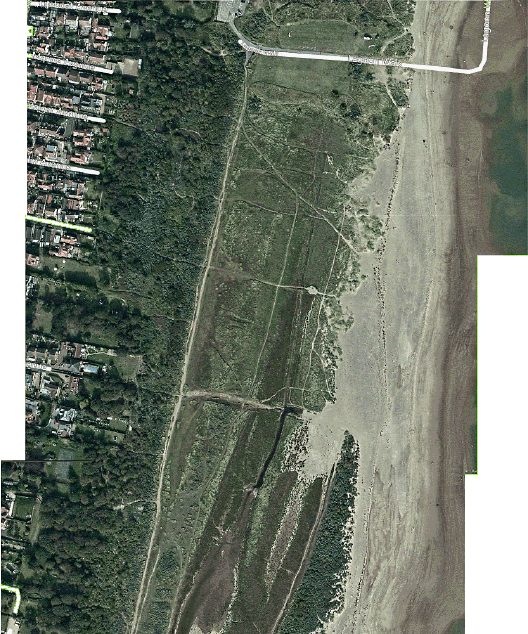
Map of north western boundary of the SSSI/SAC falling short of protection at Marine Avenue, leaving about 8 acres of mature dune woodland and mature saltmarsh outside it's limits.
All entry points from Lifeboat Avenue to Ocean Avenue lead on to this unmanaged, unprotected area.
From the entry point at Princes Parade all scrub, saltmarsh and small dunes to the east, including the beach down to low water also fall outside Statutory Protection.
This is a total of about 125 acres.